How I add GPS coordinates to DSLR photos automatically
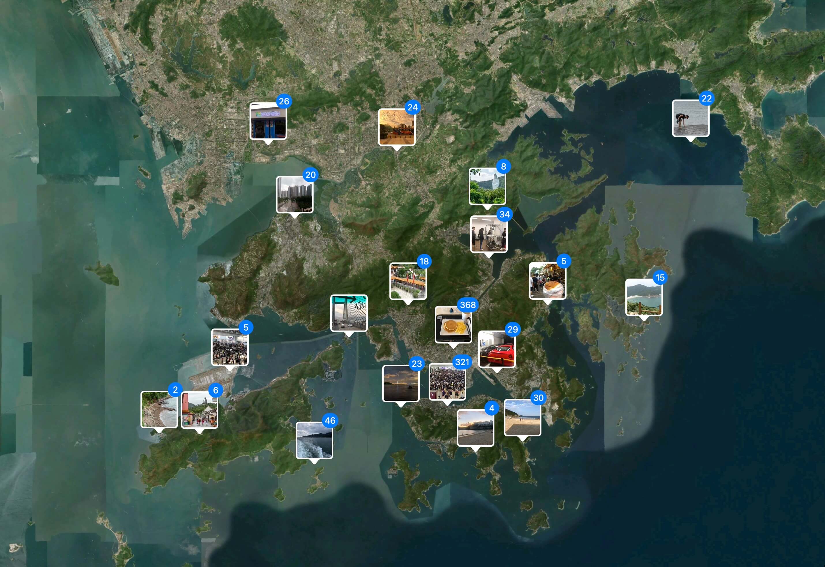
11 Jun 2021Most professional cameras nowadays still don’t have a build in GPS module. When you are photographing a wedding, you probably don’t need GPS coordinates. On the other hand, one of my hobbies is traveling. I like to take photos during my trips and I’d like to view them later on a map. But my Sony A6500, unfortunately, doesn’t have a GPS module.
Recently I’ve been looking for a solution to this problem and it turns out to be quite simple. There are tools that can add GPS coordinates to photos based on a GPX file. Let’s look at how to do it.

GPX file is a file containing a series of GPS coordinates. There are many GPX recorder apps available on AppStore and Google Play. In my case, I track my outdoor photoshoots with my Apple Watch as outdoor walks, so the location data is already being tracked. To generate the GPX file, I use one of my iOS apps - HealthExport app.
When you have the GPX file, you need a tool that can associate images with GPS coordinates in the GPX file. I use exiftool, which is available for free at https://exiftool.org/. After you install exiftool, you can open the Terminal app on your mac (command line on Windows) and type following command:
exiftool -geotag "{path to your GPX file}" "{path to your folder with photos}"
If you have any feedback or question, feel free to reach out via Twitter.